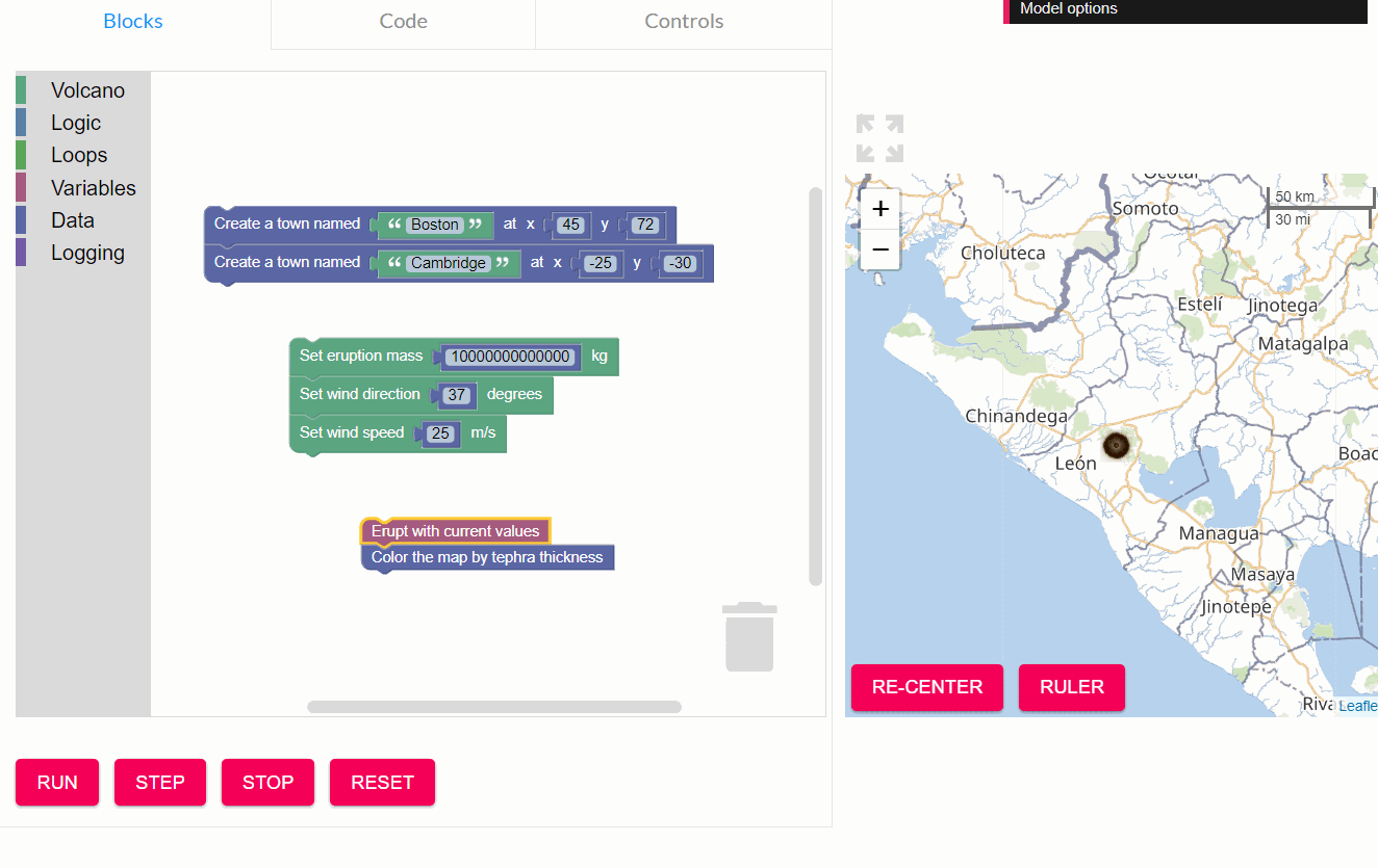
During the summer of 2019, I worked as a programmer at the Concord Consortium on the GeoCode Explorer, a combination volcanic eruption simulation, programming environment, and data visualization tool, being developed as part of a National Science Foundation funded project. The goal of GeoCode is to integrate coding and the practice of programming with students’ exploration of geologic threats. Students use coding to explore probabilities of hazardous events by examining a range of potential volcanic eruptions and wind field scenarios.
I was brought back on the team during the summer of 2020 for rapid prototyping and iteration of a new feature for visualizing the crustal strain of the tectonic plates using USGS GPS data.
As part of an agile team, I was responsible for implementing requested features, including adding data visualization components and overhauling map interaction and display methods. I fixed bugs, provided builds for user testing, participated in stand up meetings, and was assigned stories to complete.
I also participated in design meetings where I acted as a computer science domain expert. I worked with the educational team to design coding challenges for the curriculum.
The application was developed primarily with NodeJS and React and was written in TypeScript.
My fork of the Github repository can be found: HERE.

